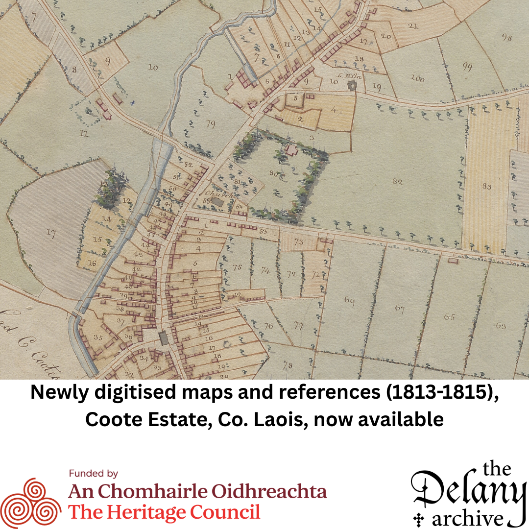
The Delany Archive is pleased to announce the release of newly digitised historical resources: estate maps and reference information relating to the Queen’s County Laois) estate of Sir Charles Henry Coote (1794–1864). This project has been funded by The Heritage Council.
This significant addition to the Archive’s online collections includes high-resolution images of two bound volumes:
- The 1813 volume: Provides detailed reference information identifying lessees and occupying tenants (where provided), along with descriptions of the location, quality, and quantity of their holdings.
- The 1815 volume: Contains estate maps of the demesne lands at Ballyfin and the tenanted estate, accompanied by similar reference information to that found in the 1813 volume.
In the case of both volumes, the estate was surveyed by Thomas Logan & Son, Dublin. They are searchable by name and place.
These resources offer valuable insights into landholding and estate management in early 19th-century Ireland, as well as detailed maps that predate the Ordnance Survey, and are now freely accessible on the Delany Archive’s website: https://www.delanyarchive.ie/online-resources-exhibitions/estate-of-sir-charles-henry-coote/.